Via Francigena
an ancient pilgrimage route to Rome, ongoing trips...
Via Francigena official route
Total Distance: ca. 2239.7 km
Start & End point: Caterbury → Rome
- 🏴: Caterbury → Dover (2 stages - 31 km)
- 🇫🇷: Calais → Jougne (47 stages - 997.1 km)
- 🇨🇭: Jougne → Col du Gd Saint Bernard (10 stages - 196.1 km)
- 🇮🇹: Col du Gd Saint Bernard → Rome (46 stages - 1015.5 km)
Total Duration: ca. 90 days
Average distance: 25 km/day
WARNING
This is an ongoing long-distance hike that will span several independent trips during my college study. The places I have been to so far are marked with the blue pins 📍 on the map above.
several trips
Instead of spending 80 days on the hike in one continuous stretch, I decided to split it into several trips. Over the past three years, a lot has happened. I finished my high school studies in Wiesbaden and moved from Germany to Switzerland to continue my education. Due to my college schedule, I couldn’t dedicate a large chunk of time spanning several months to hiking, so I decided to break the trip into smaller segments.
difficulties and challenges
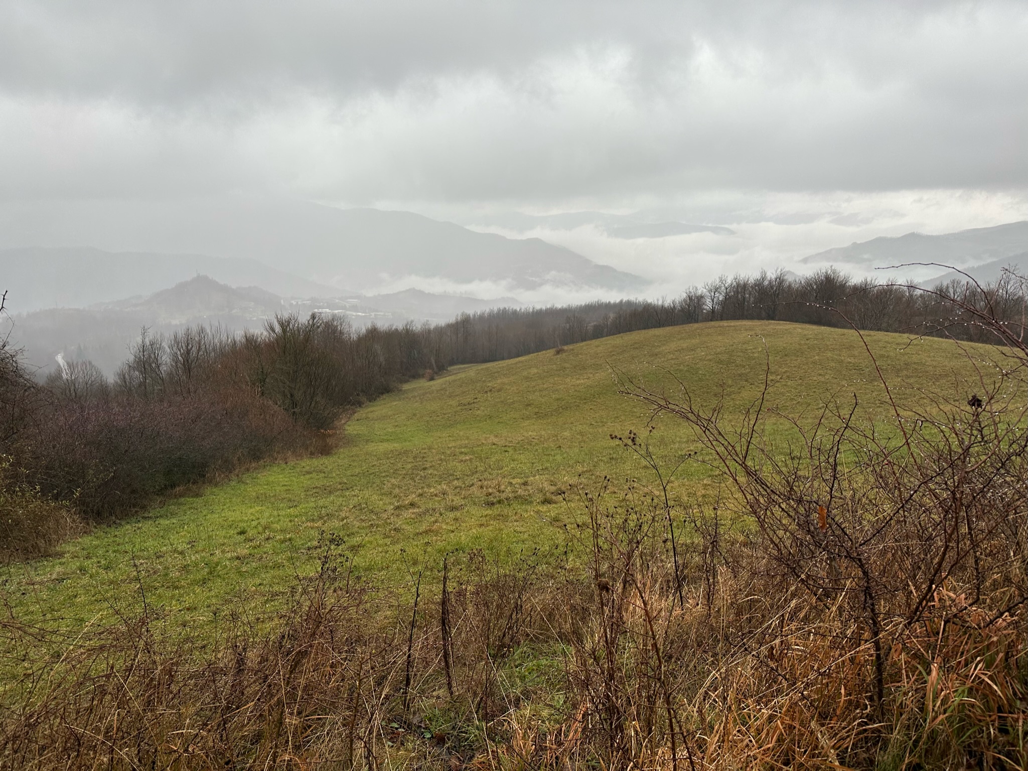
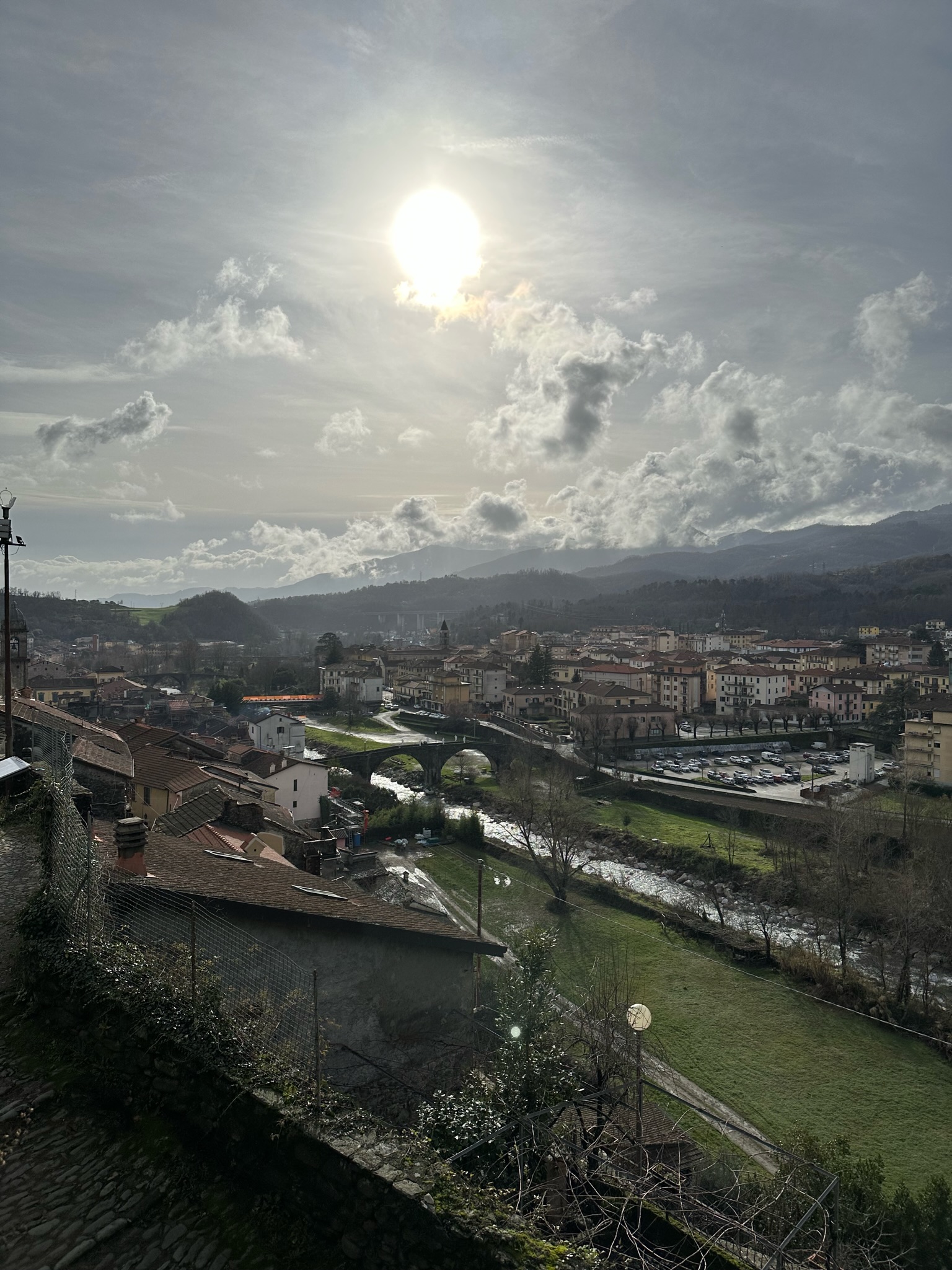
This time, I decided to embark on our first trip of the Italian segment in winter. The winter journey was definitely challenging, with limited accommodations available and tougher weather conditions. Since I don’t speak Italian beyond some simple phrases that I learned from Duolingo or Babbel, it made the trip slightly more difficult, especially when trying to find places to stay. Some B&B owners spoke English, but most of them didn’t speak any English at all. However, it was still possible to communicate a bit through a mix of simple Italian words and some Spanish.
Moreover, some road signs can be misleading. It is highly recommended to download offline maps of the itinerary before starting each stage. The free app of Via Francigena is a very useful tool to have.


